
Magic Beans and Cloud-Based Mapping


 The concept of the cloud has become part of daily life. We back up our information to it; we use cloud-based applications for business and fun. And – most of the time – this all happens rather seamlessly, and we don’t have to worry much about the mechanics of how these things happen or where they go. That is, unless you yourself are trying to figure out new ways to deliver spatial data to your users, be they your co-workers or the whole wide world.
There are a number of good offerings out there, two of which we’ll look at today, that provide ready-made cloud-based platforms for you to serve up your data – storage and software included. They may have base data already, and even templates to get you up and running with pretty maps even faster.
But – and this can be a sizable but – how do you get there? How do you get TO the cloud? What’s the magic bean that will grow the beanstalk that reaches up to the cloud so your data can just shinny right on up there? May we suggest FME?
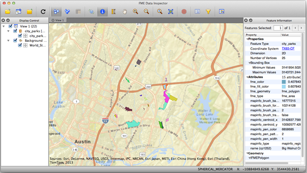
ArcGIS Online
ArcGIS Online – AGOL, for the acronym-inclined – is a neatly packaged and quite complete cloud solution. They provide data, templates, and some highly useful apps that will have you up and running quickly. If you are already an Esri user, it’s a natural extension to what you’re doing already. But even if you’re not using Esri products locally, you can still take advantage of them online, with hooks in FME that can access the drive time polygons, global geocoding, and geo-enrichment services.
User or not, in either case, moving your data – both up the beanstalk and down it – is a simple exercise with FME readers and writers to connect. The primary advantages of tackling the problem this way, of course, are the usual upsides of FME workspaces – set it up once, and run it again and again – and seamless access to formats beyond what your internal platform supports. Add FME Server, and it’s happening hands-off. There’s also some interesting potential here with FME Cloud , which opens up access to FME Server for a ton of users who haven’t traditionally been able to use it.
Google Maps Engine
Google’s offering, the Google Maps Engine, provides many of the same features. They have data, templates, and hosting. And while they may not have some of the more advanced apps that AGOL offers, they do have the advantage of an end-user interface that is highly familiar to millions. They also indicate that you can make your maps findable in Google Search – and that’s likely an advantage if your product is intended for public access.
If you choose this platform, FME is definitely going to be your magic bean. The currently available list of supported vector formats is quite restricted and file-based, so creating upload workflows that read directly from your internal databases, GIS, or CAD files (or whatever!) is going to bypass a very manual export/upload process and save incredible amounts of time and effort.
We should also note one small, but very key feature in these writers, and that is the ability to update your cloud-hosted data. While it’s a not a big deal to dump and reload an entire dataset each time if it’s relatively small, once you’re dealing with large datasets, the time, bandwidth, and data transfer costs (if any) become a real consideration.
So if you’re considering the cloud for maps, or even just as an offsite backup option, you’ve got a few things to think about. Which service is right for you? And of course there are more than just these two to choose from. So while you’re puzzling through features and content and user experience and costs, at least you can rest assured that you’ve got a magic bean in your pocket with FME.
Want to learn more? We have two upcoming webinars you can check out:
March 5, 2014 – How to Leverage ArcGIS Online with FME
April 16, 2014 – How to Load Data into Google Maps Engine
And there’s even more information on our website:
Explore more blog content headline

Data-Driven Marine Operations: 5 Ways to Generate Actionable Insights from Ship to Shore


Introducing FME Form 24.0: Redesigned User Experience for Focus and Consistency


[New!] AI Assist in FME: How to Build Better Data Integration Workflows with the Help of AI