We’ve been giving you plenty of social media updates and recaps of the North American FME World Tour 2016 stops, but are you wondering what the international leg of the FMEWT is like? Today’s guest blogger, Eric van Rees, gives us a run-down of the FME World Tour in Madrid, Spain.
*
Safe Software’s FME World Tour meets various goals at once: first, local FME users are given the opportunity to meet members of the Safe Software team and network with other local users. Second, they are updated with an overview of what’s new in FME. Third, local users share their experiences with FME and discuss how it extends current workflows and improves their end products.
Safe Software partner con terra organized the two FME World Tour dates in Spain, the first one in Barcelona and the second one in Madrid, held on April 14th at Esri Spain. The Madrid date provided a balanced program of user and technical presentations from both con terra and Safe Software staff. Apart from an informative program, there was also room for discussion and entertainment, which makes Safe Software stand out from other software vendors.
What makes this particular World Tour unique is that visitors are given an FME coin that can be used for a worldwide photo contest organized by Safe Software, or for personal geocaching as it comes with a unique ID number. Tweets tagged with a location are gathered by an FME workspace and placed on a Google Map. Curious fact: evidence showed that tweets without a location end up being mapped in Siberia.
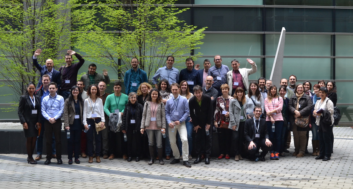
FME World Tour 2016 in Madrid, Spain. Photo courtesy of Benjamin Quest, con terra.
What’s new in FME Desktop
Three presentations covered what’s new in FME: first up was Camila Cordero Mansilla from con terra, discussing some of the new features in FME Desktop, such as the new FME Workbench, FME Data Inspector, new data formats and transformers. The most important takeaway here was the improved usability of FME Workbench with FME 2016, for example by making it easier to upgrade transformers and inspect data. It’s important to know that transformers are not updated automatically when installing a new version of FME, as this may cause previous workspaces to stop running. The FME Data Inspector adds new visualization tools. One new supported data format in FME that is expected to become big in the future is the Apple Venue format and is used for indoor maps of airports.
More new features in FME Desktop were covered next, such as the AttributeManager that combines the work of multiple transformers, making it a “supertransformer”, allowing users to create, copy, rename, delete, reorder all attributes in one single transformer. Another “supertransformer” is the new AttributeValidator transformer that can be used for quality control and feedback generation, allowing a complete solution for validating attribute type, values, uniqueness, encoding, and case, with the aim of simplifying project workflows.
Benjamin Quest from con terra discussed some of the new features in FME Server, such as support on any platform that supports the open source container technology Docker. Multiple demos showed how to connect more services with FME Server, such as combining air quality data, city features, HTMLReportGenerator, S3Uploader and Esri Leaflet, and converting PostGIS data to an Esri Shapefile.
The connection between FME and ArcGIS was further explored in a separate presentation later in the day. Multiple configurations between desktop, server and cloud offerings from both Esri and Safe Software were covered, ending with a demo where Excel data was geocoded and an ArcGIS Online Feature Service was created, as an example of combining ArcGIS Online Services and FME.
Local user presentations
Three local user presentations completed the event. The government of La Rioja uses FME for the creation of tiled map data meant for consumption on mobile devices. This data is published with FME Server as GeoJSON CSS, a GeoJSON extension used for applying style to vector elements, based on CSS. The FME Workbench design showed how FME is used for applying symbology to geographical data through the MapnikRasterizer transformer, resulting in tiled map data.
The Spanish National Geographic Institute uses FME for process management and hydrographical control. FME is used here for automating the DTM production management, using high-resolution LiDAR data for calculation of the sub-basin hydrographical gauges and mapping the connecting hydrographical nodes between sub basins of rivers. Large data volumes are processed into vectors and controlled after the production process, as well being as cleaned up and improved: FME fixes any possible missing data, holes in the map and calculates the distance from the land and the sea border. Finally, the data is transformed for being INSPIRE-compliant with FME.
Geospatial solution developer Geograma presented Life GISWASTE, a methodology based on GIS to prioritize alternatives for agri-food waste reclamation in the Basque Autonomous Community. The Life GISWASTE project offers an IT tool which assists users in choosing the option which makes best use of vegetable, meat, and dairy by-products from the agrifood sector, rather than treating them as waste products. This project focuses on recovery alternatives in two specific areas: the generation of biogas and animal feed production. FME, Sharepoint and ArcGIS were used to develop a GIS tool for finding the best location for an organic waste plant site in the Basque Autonomous Community based on a set of geographical, technical, economic and environmental factors, and to calculate the logistic routes for collecting the waste.
The last presentation of the day was given by Ken Bragg from Safe Software, who shared a number of tips and tricks on how to make better use of FME. The first part of this presentation covered working with JSON, XML and GML data, which is made easier with FME 2016. The second part covered the Feature Reader/Writer, a new transformer that enables the user to read and write data mid-workspace. The day ended with an activity where attendees helped to build a workspace for prizes. The workspace that was created submitted a group photo taken earlier that day and What3Words code to a web map.
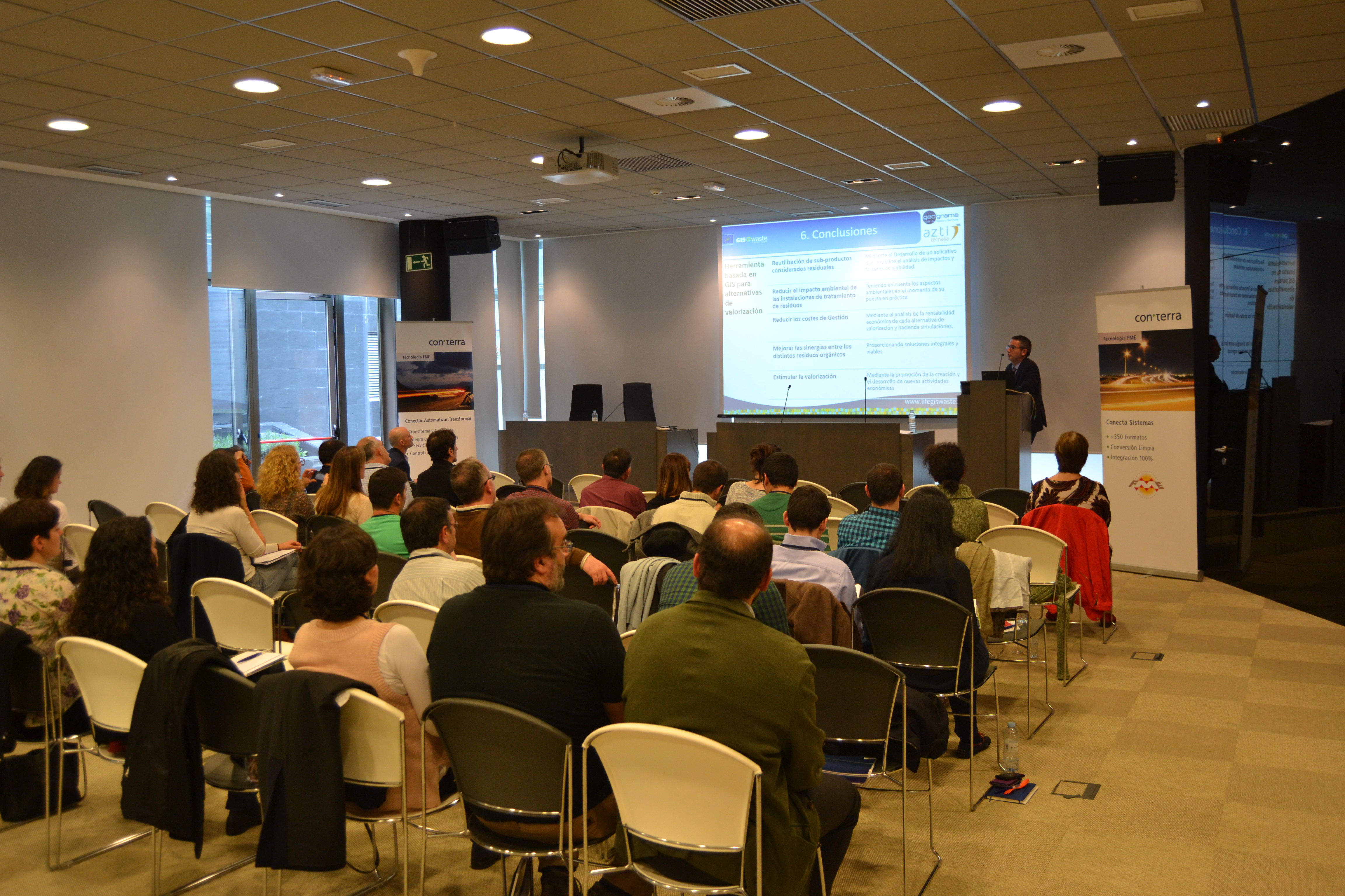
FMEWT Madrid: Life GISWaste presentation. Photo courtesy of Benjamin Quest, con terra.
Eric van Rees is a freelance geospatial editor and writer. He was the editor-in-chief of GeoInformatics Magazine, a publication for GIS, mapping and surveying professionals. Follow him on Twitter: @GeospatialProf.

Tiana Warner
Tiana is a Senior Marketing Specialist at Safe Software. Her background in computer programming and creative hobbies led her to be one of the main producers of creative content for Safe Software. Tiana spends her free time writing fantasy novels, riding her horse, and exploring nature with her rescue pup, Joey.